 |
| A picture along a portion of the dyke protecting residents from flooding of the River Nzoia. The dykes are generally kept fairly barren of vegetation. |
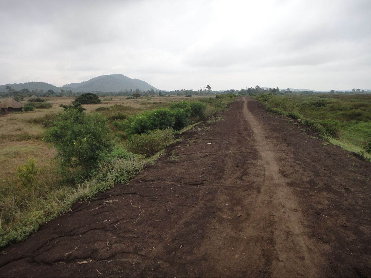
This past Monday and Tuesday, I went outside the office with my coworkers Austin and Michael to bike along the dyke beside the northern banks of the River Nzoia. The River Nzoia is the source of annual flooding which affects the Budalang’i area. I will later tour the southern banks of the river, the scene of most of the devastation from last year.
 |
| Coworkers Austin and Mike at my host organization showed me around the flood-prone areas and the dyke.
|
 |
| A typical village just outside the dyke. Mali is a very poor country, with little variation of living standards amongst its population. However, Kenya has significantly more natural resources, providing it with greater wealth. Yet there is a much greater gap between the haves and the have-nots. Much of the population is still living in poverty. The housing here reflects this, contrasted with the housing around the Loitokitok area. |
Flooding can occur along almost the entire length of the river throughout our district of Bunyala, whenever rains upstream within the Mount Elgon region intensify. The location and intensity of the flooding varies from year-to-year. Last year, the flooding was especially severe along the southern banks of the river. However, the year before, the northern banks saw the greatest of the devastation.
The flooding often displaces tens of thousands of residents, whose homes are destroyed by the floodwaters. These people are then forced to reside in temporary shelters around nearby churches and schools until they can rebuild their homes.
 |
| Soil was recently added along the surface of this portion of the dyke, where it had been previously breached, as a minor repair. |
Even those whose homes are generally spared can suffer grave consequences from the flooding. The incidence and spread of illnesses such as cholera, pneumonia, and malaria are greatly aggravated by the conditions. The construction of latrines in these areas is also a major problem due to the high water table.
Additionally, many families farm corn and other produce within the fertile soils surrounding the river. Oftentimes, the flooding occurs at inopportune times during the growing season, prior to maturation of the crops. When this happens, families are forced to quickly slash and salvage any crops they can before the floodwaters wash all of their hard work away.
 |
| The soil along the surface of the dyke shows evidence of ant activity, creating holes throughout the dykes. Failures have occurred in the past through such small holes, which allow water, once enough pressure builds up on the upstream side of the dyke, to spew out to the other side. Other times, the dykes may completely fail and collapse. |
This all begs the question, why do people live within these flood-prone areas? Has the flooding worsened over time such that at one time, life in these areas had been much more tolerable?
 |
The River Nzoia, the cause of the flooding in the Budalang’i area, is a much more impressive river than I expected. It is fairly wide, and the current is very fast. Currently, the water level is well above normal, and rising.
There is currently a high frequency of rains upstream. Therefore, the potential is there that flooding could occur in the near future. Although the river looks to be at a fairly benign height in comparison to the elevation and the distance to the dykes, I was told that the water level could easily rise to flood stage within as short a period as one week.
|
The answer that I have received is that no, the flooding hasn’t worsened over time. People in these areas have always dealt with flooding as part of their livelihood. One can imagine that their ancestors had originally settled here due to the fertile conditions for farming.
 |
| Families are settled very near along the entire length of the dyke. In the background is the Sibuka Primary School, which flooded in 2008, forcing it to close for the school year, relocating students elsewhere. |
But with education, people have more so realized the impact that the floods have on their lives and the health of their families. Therefore, many of the more educated people have been relocating upland, out of the flood-prone areas. But unfortunately, many people either choose not to give up their ancestral land, or are simply unable to relocate. For example, some families simply cannot afford to purchase land in the highlands.
 |
| This area floods annually, causing many hardships for the inhabitants. Sometimes it floods a little over ankle-deep, but other times the flooding is much more significant with several feet of water. Note the proximity of the houses to the dykes. |
The dykes were originally constructed way back in the 1950’s. The dykes have since only undergone marginal maintenance and repair when necessitated by a particularly bad incidence of flooding. The dykes are therefore continuing to lose their effectiveness. Therefore, flooding will continue to be a perennial crisis until either people have both the desire and the means to relocate outside of these areas, or an effective barrier to the floodwaters is erected.


Hello, would it be possible to use your photo of the early warning system in a story about floods and flood control in our low-cost educational magazine, Young African Express?
ReplyDeleteThank you
Katherine Moir
Art Director
Young African Express
Nairobi
No worries, glad to help!
Delete